Advanced Geospatial & Remote Sensing Solutions for Mineral Exploration


About Us
Koch Geospatial Solutions is a team of leading specialists in remote sensing and mineral exploration, dedicated to delivering advanced geospatial analysis for mining and exploration companies worldwide. Utilizing the latest satellite imagery, hyperspectral data, GIS, and geophysical datasets, we identify alteration patterns, structural features, and geochemical signatures that reveal high-potential mineral targets. Our expertise allows clients to make informed decisions, optimize exploration strategies, and reduce the risks associated with field operations.
Remote Sensing & Satellite Analysis
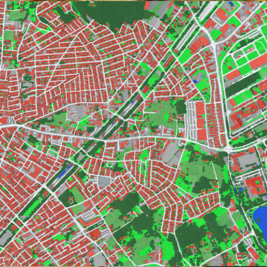
Geospatial Data & GIS Solutions
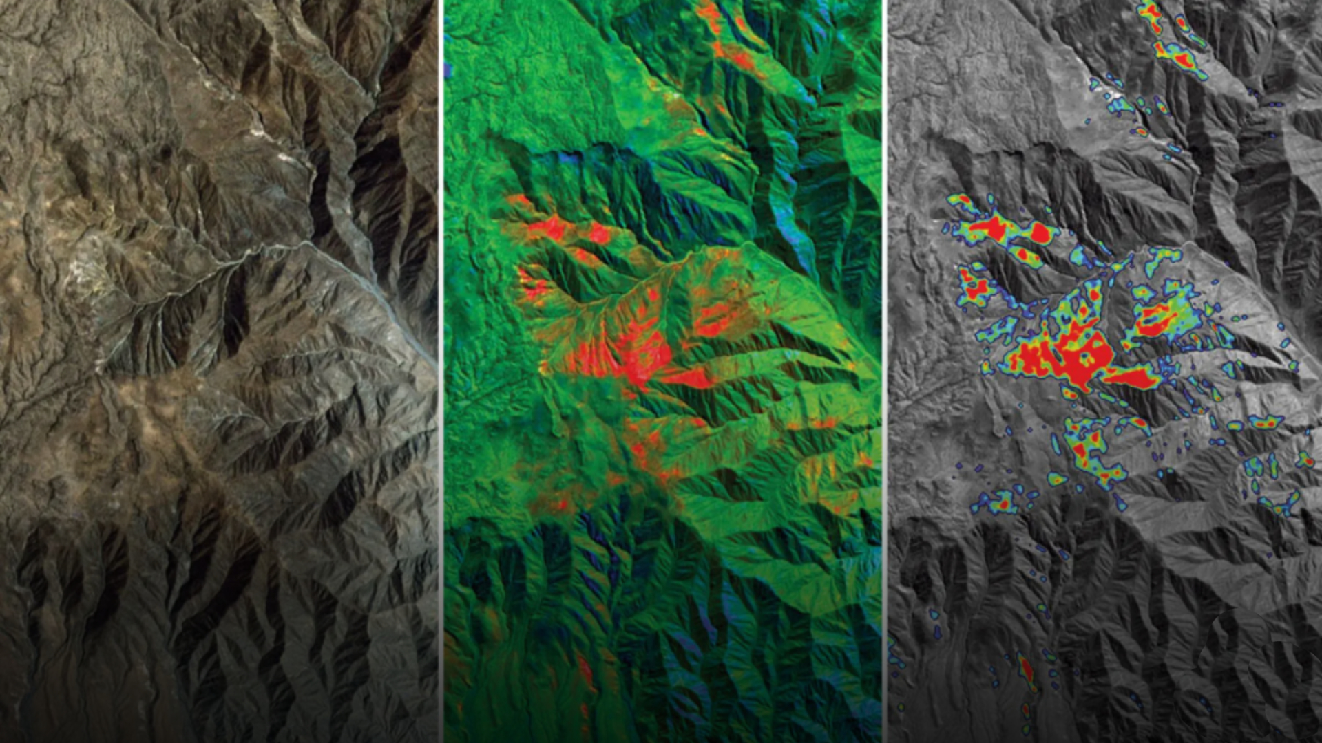
Mineral & Lithological Mapping
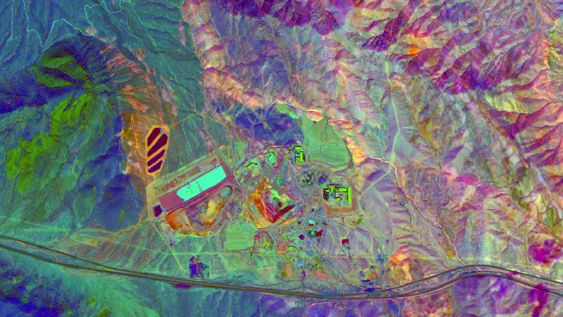
Spectral & Geophysical Analysis
Exploration Target Identification

Why Choosing Us!
At Koch Geospatial Solutions, our clients choose us because we combine scientific expertise with advanced geospatial technology to deliver precise and actionable insights for mineral exploration. Our team of specialists uses remote sensing, GIS, and geophysical data to identify high-potential mineral targets, helping exploration companies reduce risk and optimize their field programs. We pride ourselves on providing reliable, accurate, and timely solutions that empower our clients to make informed decisions.
Our Services
Detection of alteration patterns, lithology, and mineral indicators using multispectral and hyperspectral imagery.<
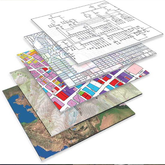
Combining geological, geochemical, and geophysical datasets into coherent GIS workflows.
Generation and ranking of high‑confidence exploration targets to guide field programs and drilling.
Our Team

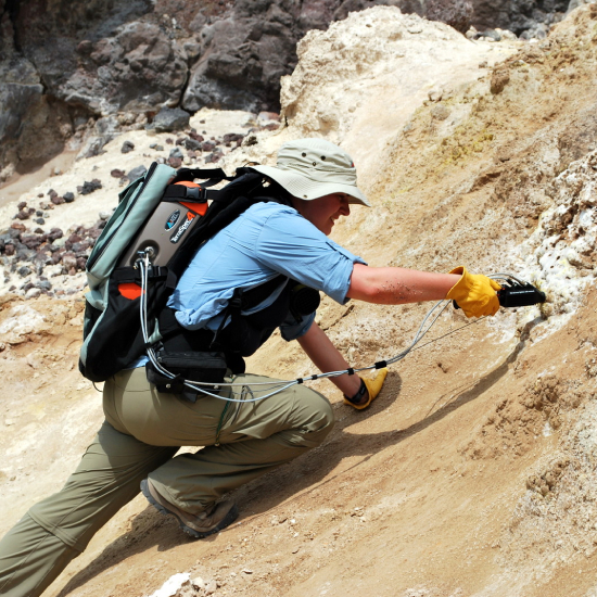
Sarah Green Koch is a renowned remote sensing specialist and the driving force behind Koch Geospatial Solutions, bringing extensive expertise in mineral exploration and geospatial analysis. With a deep understanding of satellite imagery, hyperspectral data, GIS, and geophysical datasets, Sarah excels at detecting alteration patterns, structural features, lithology, and geochemical signatures that indicate mineral potential. Her insights help mining and exploration companies identify high-value targets, optimize field programs, and reduce exploration risks.
As an independent consultant and business leader, Sarah combines scientific expertise with advanced data analysis and strategic management. She oversees the acquisition and processing of satellite and aerial data, performs detailed spectral and spatial analyses, and integrates geological and geophysical information to produce comprehensive maps, targets, and reports. Known for her collaborative approach and clear client communication, Sarah works closely with exploration teams, investors, and geologists to deliver actionable insights that drive successful mineral discoveries worldwide.


Contact Us
015211884904
support@kochgeosol.com
Copyright © Koch Geospatial Solutions, All Right Reserved.